“This is like a video game god-mode into the factory”
Ori Inbar, Cofounder and CEO of AWE
Spatial Context is Essential
All physical data in the world is meaningless if you don’t understand its context. Your data could tell you that a worker spends time walking from place to place, but is it because the work involves multiple areas of a vehicle, or because a trash can is in an inconvenient location? It’s possible to derive some of these insights from conventional 2D video and taking notes, but the Data Time Space Platform offers a permanent, precise spatial record, which begins with a scan of your environment.
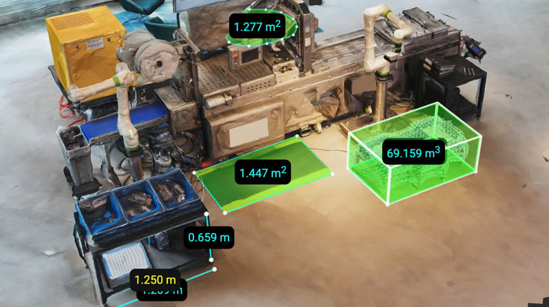
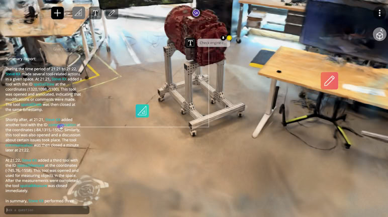
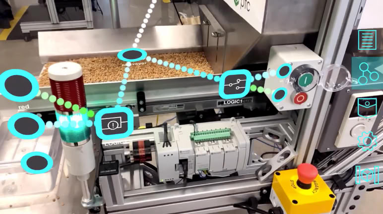
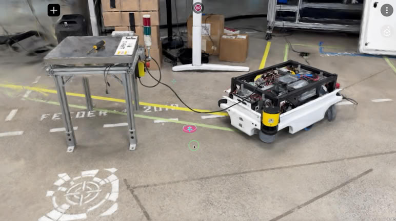
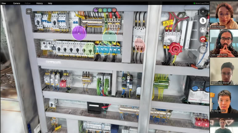
This baseline record serves as the foundation of an intuitive, collaborative workspace accessible via web browser or directly within Microsoft Teams, allowing users to explore and interact with spaces together remotely. Within this environment, multiple specialized spatial applications can be used simultaneously in the multi-tasking interface to tackle real-world problems. For example, the motion analytics application enables you to record and analyze work processes directly within the spatial context, while the measurement application enables you to take accurate virtual measurements about the work process. Additionally, the platform seamlessly integrates IoT and robotic systems, bridging your virtual workspace with the physical world. Our data model coherently organizes every feature of the space from its initial capture to any insights generated by spatial applications. This organization empowers spatial AI systems to understand and interact with these data, supporting more informed and effective decisions.
Continuous Improvement
The flagship use-case for the Data Time Space Platform is our continuous improvement offering. The Data Time Space Recorder generates and analyzes high-precision 3D human motion tracking data within a comprehensive s patial context. In testing with our customers, this reduced the time to results for process analytics by 80% compared to traditional methods. You can read more about our platform’s use in body tracking applications here.
Remote Assistance
Our spatial platform allows you to get eyes on the ground anywhere in the world in a matter of minutes, increasing your problem-solving velocity. Provide expert presence in hard-to-reach places the second it is needed. Understand the movement of machinery, quality control of parts, or the roll out of a new production line. Reduce days of round-trip travel to an hour-long meeting. Our Pop-Up Scanning capability allows you to quickly get a comprehensive understanding of critical locations like disaster sites to provide powerful mission planning and spatial-context-enabled collaboration capabilities. What’s more, our platform’s deep integration with Microsoft Teams further enhances your ability to bring all experts up to speed without flying them into the same physical room.
Design Review
Use our scanning and spatial collaboration capabilities for agile design reviews in planning, designing, production, delivery, customer site installations, and service. Our Spatial Platform provides a variety of tools including annotations, spatial commenting, measurements, AI summary and context, surface and volumetric physical state analytics, CAD models, spatial photo and video recording, and photorealistic spatial AI capture capabilities. Our tools will support you in any review situation and platform. AR devices, desktop computers, and users of Microsoft Teams all participate seamlessly in the same shared spatial context. Always real-time, always collaborative.
© 2025 Data Time Space Inc